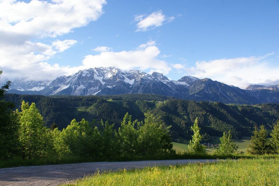
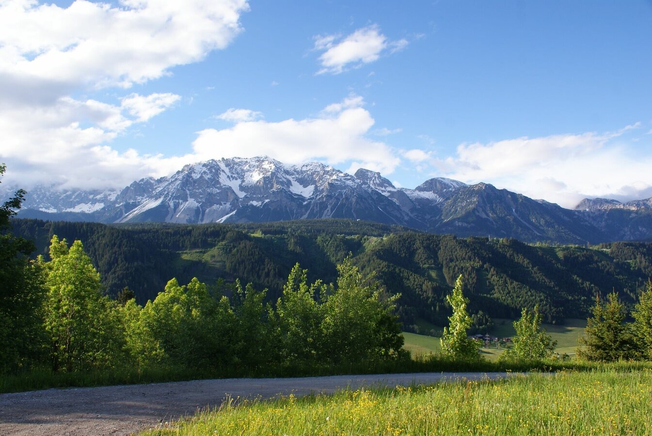
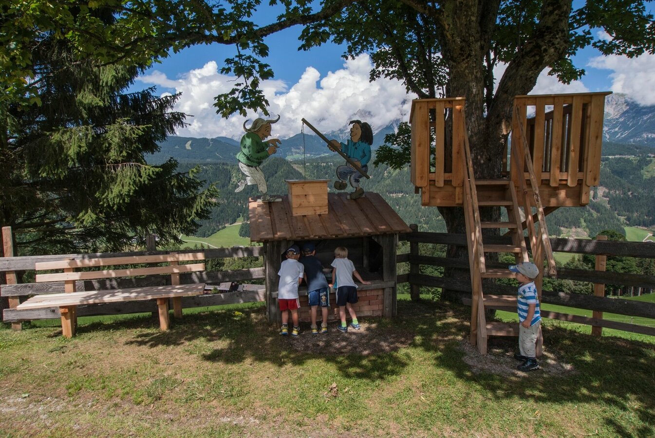
The Encounter Walk
easy partially opened Family hikes · Schladming
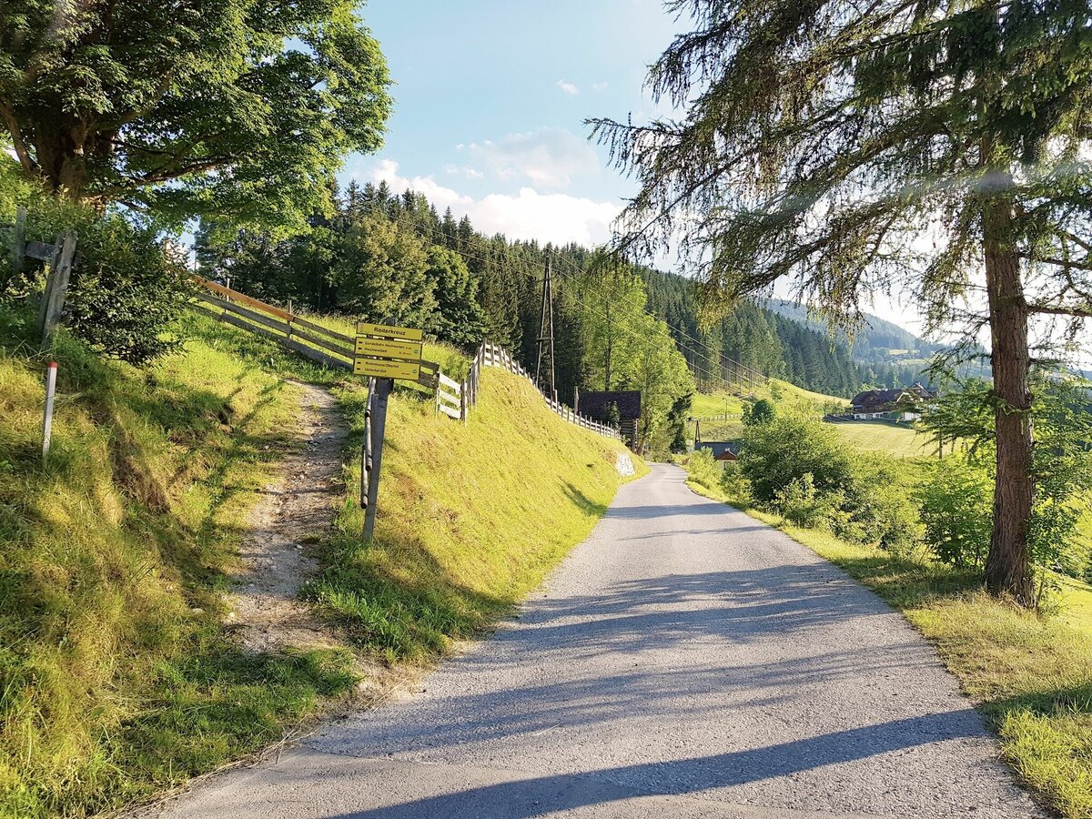
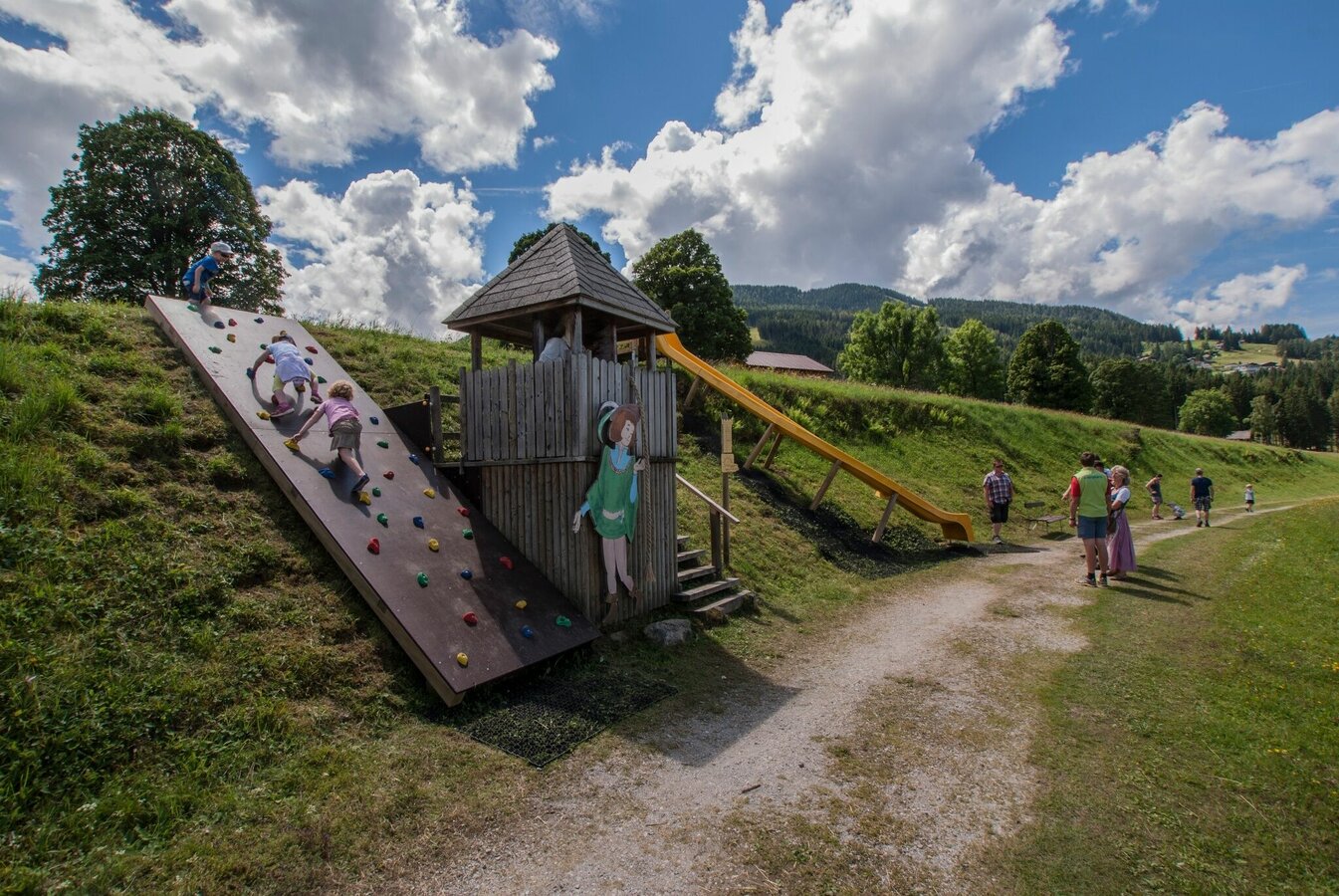
Due to renovation work at the Hotel Schwaigerhof in Rohrmoos, it is recommended that you start the circular route from the Hochwurzen valley station. From here follow the route signs past the Hotel Waldfrieden to the Alpstegerhof and there along the dirt road north to the Rapunzel station and here west along the fairytale path. Access to the first station in the direction of Schwaigerhof is also possible, but after that the path is closed due to the construction site.
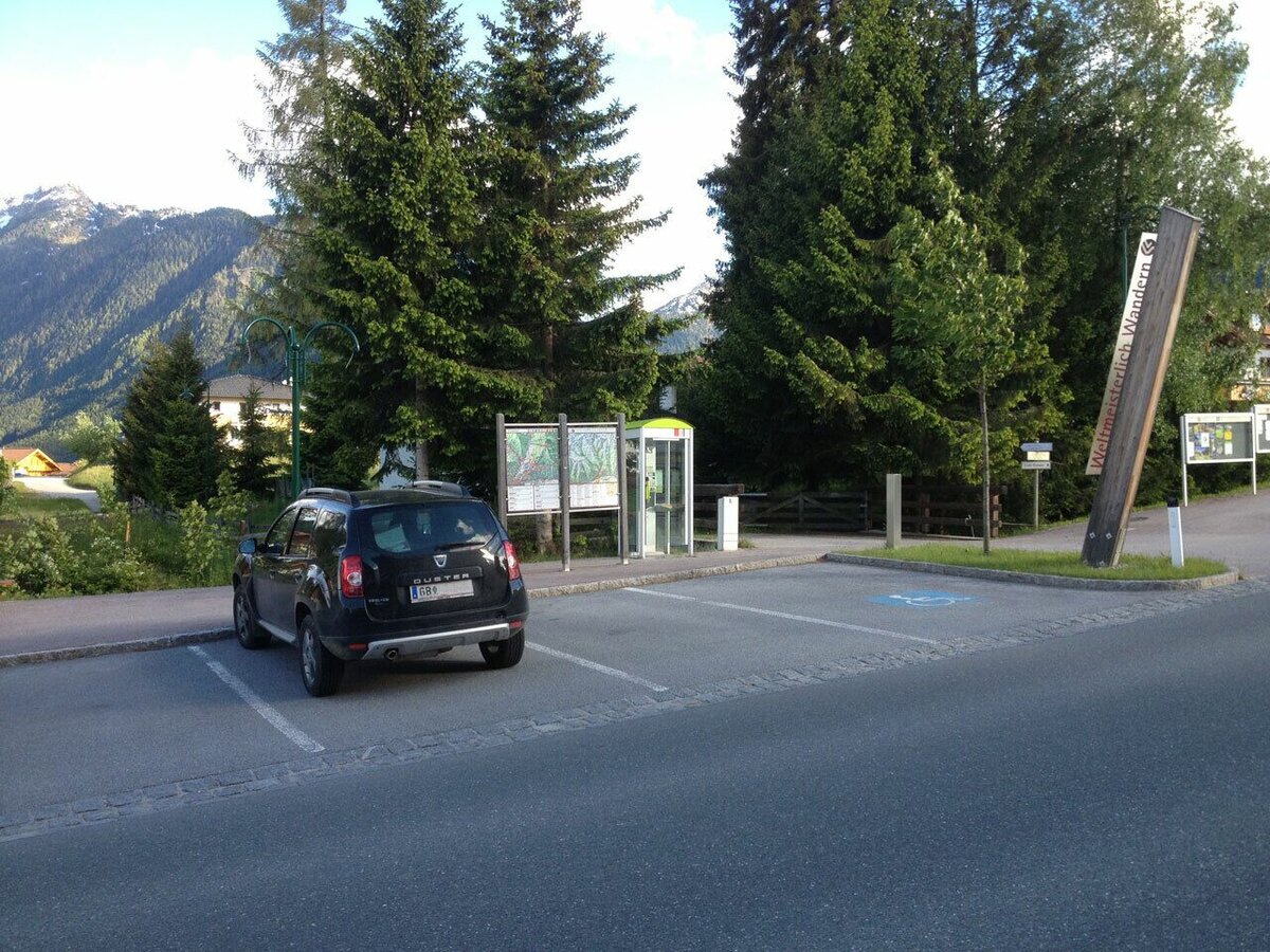
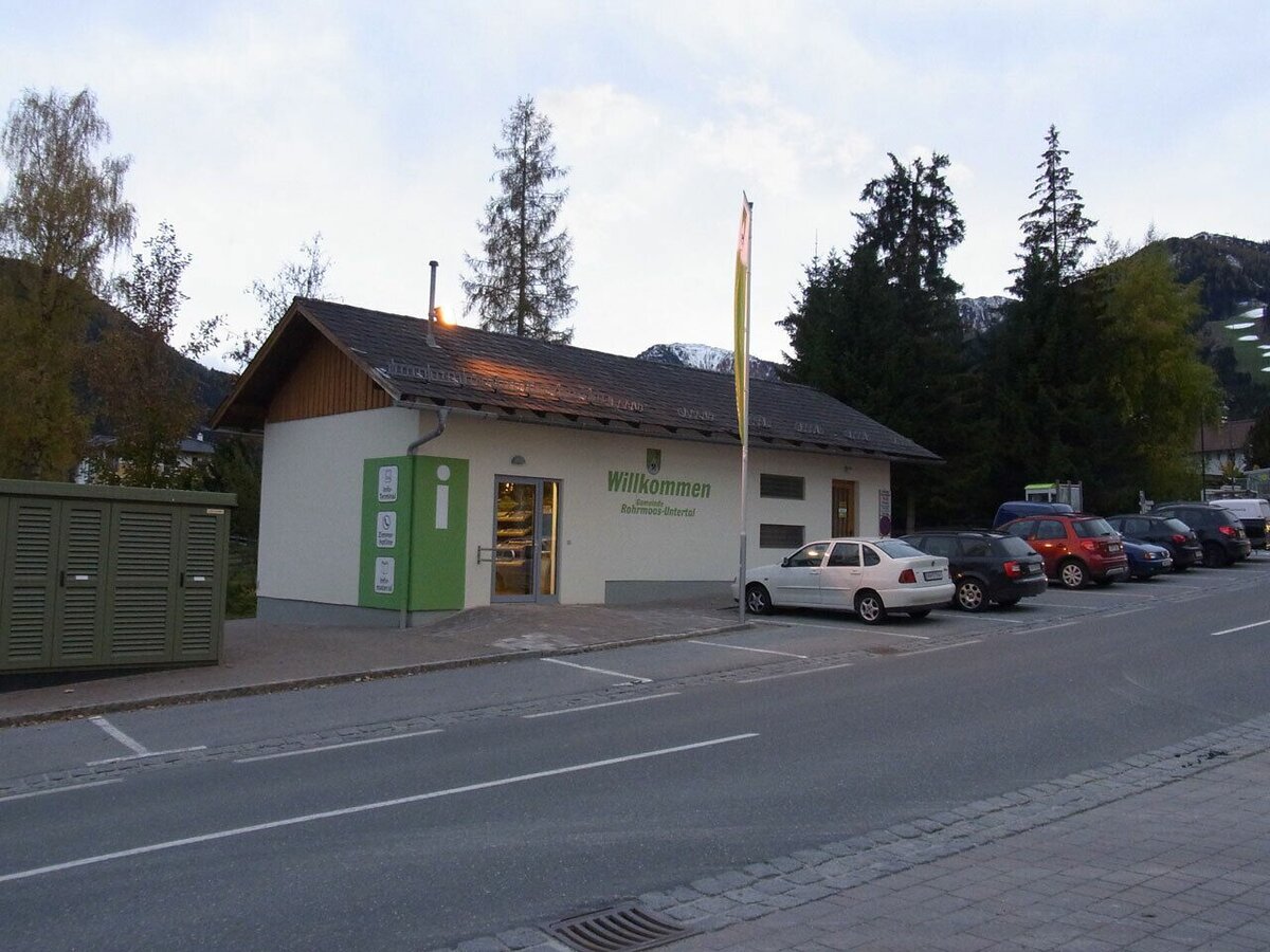
Gallery


- Buses of Planai-Hochwurzen-Bahnen: www.planaibus.at
Changes in weather patterns, quick falls in temperature, thunderstorms, wind, fog and snow are some of the dangers that can be encountered on a hiking tour. Hosts of alpine huts and mountain refuges have a lot of experience in the mountains and can give good advice about weather and the trails. Poor equipment, overestimation of one's own capabilities, carelessness, poor personal constitution and/or wrong judgement can lead to critical situations. In case of thunderstorms: avoid summits, ridges and steel ropes.
GPS data and orienteering
Available GPS data - just like hiking maps - is only a guidance for orientation and can never depict a trail exactly with all its details. Especially at dangerous spots it is essential to judge on site how to proceed.
In an emergency please call:
- 140 - for Alpine emergencies (all over Austria)
- 112 - European GSM emergency number
Tourist information: www.schladming.com
Information about bus schedules: www.planaibus.at
360° drone images
Get yourself an overview with our 360° drone images:
- View over the Western part of Rohrmoos: https://vonoben.schladming-dachstein.at/sommer/index.php?S=61
- Hiking map Schladming, 1:25.000, available at the tourist office Schladming.
- Tourist map "Hiking - Running - Walking", available at the tourist office Schladming.


